High Rock Lookout September 1st, 2013 |
|
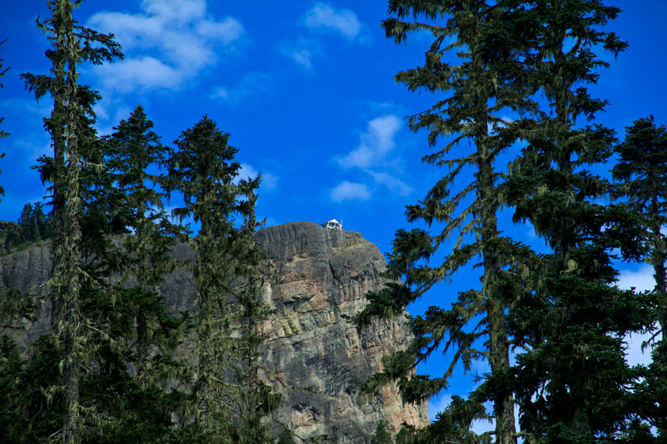
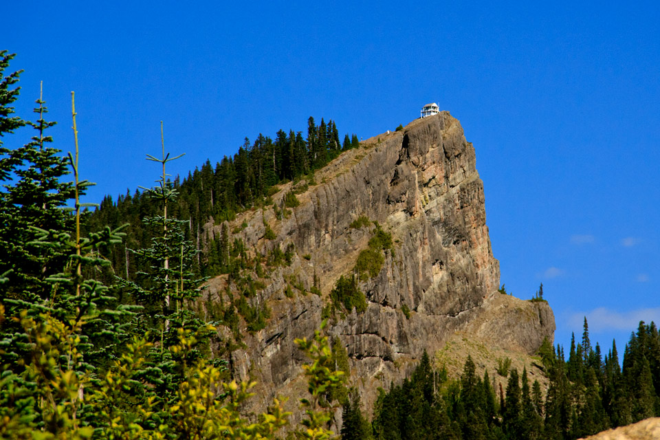
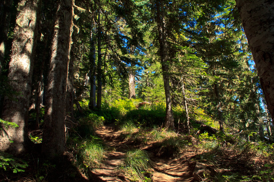
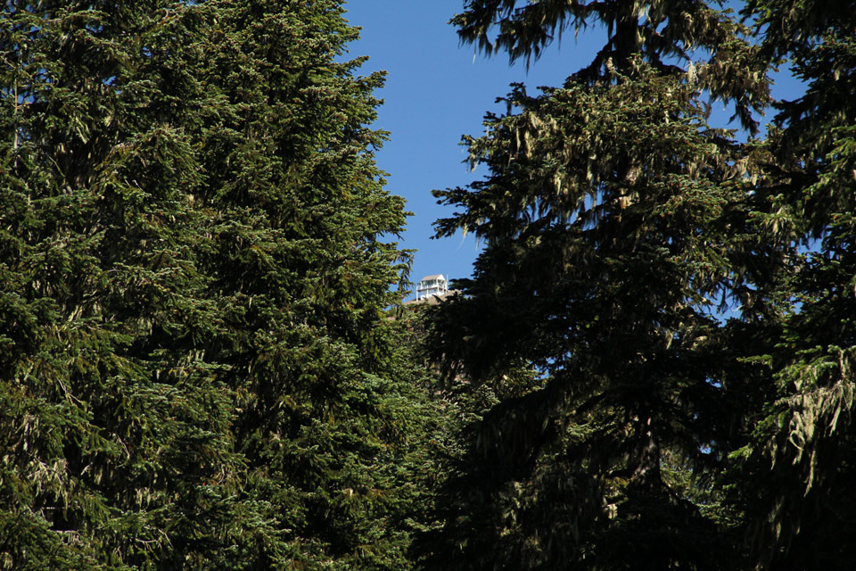
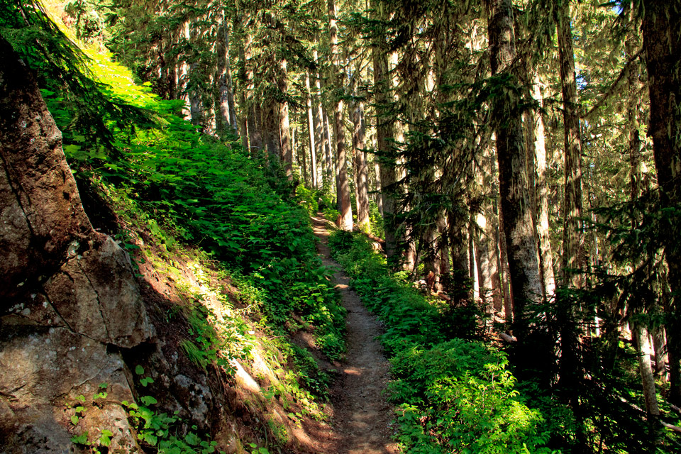
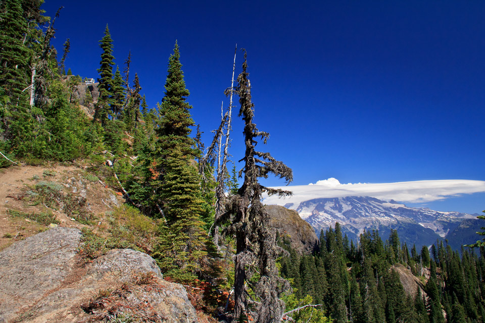
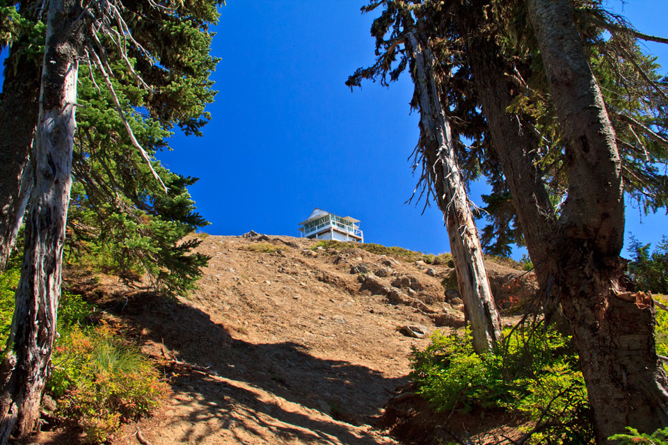
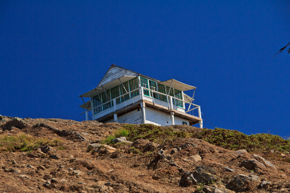
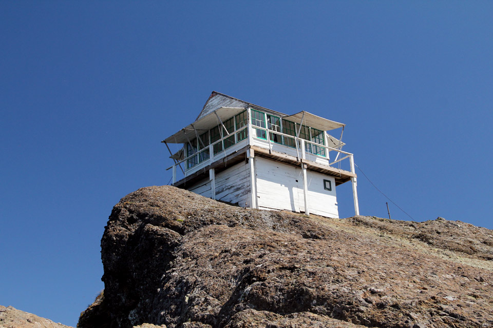
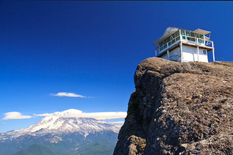
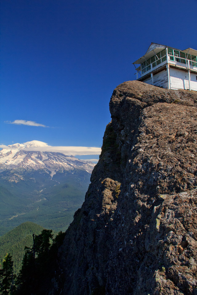
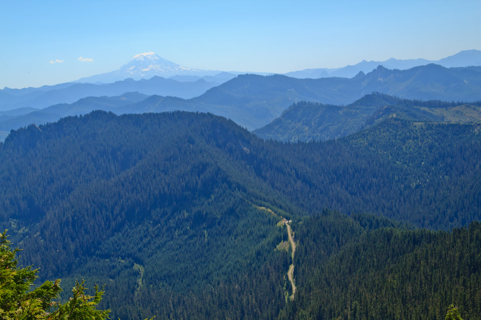
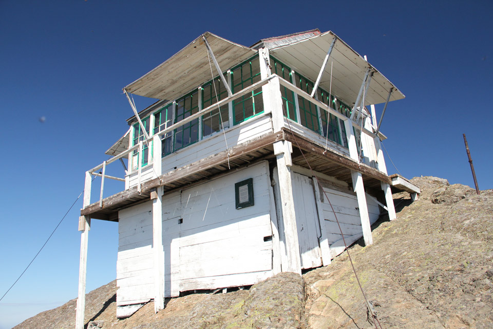
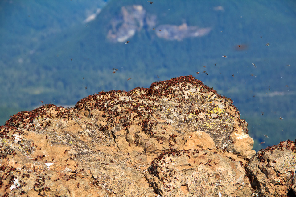
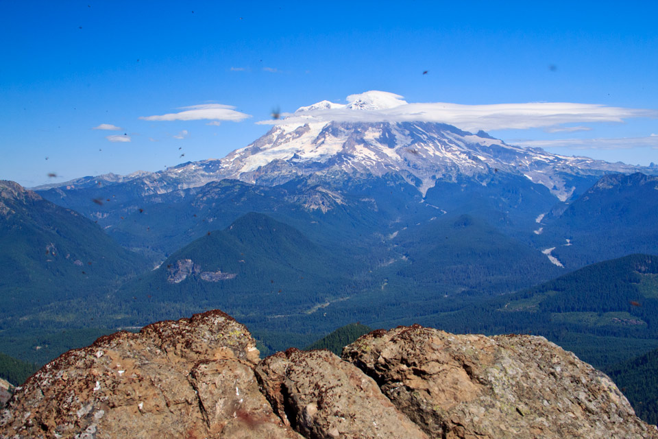
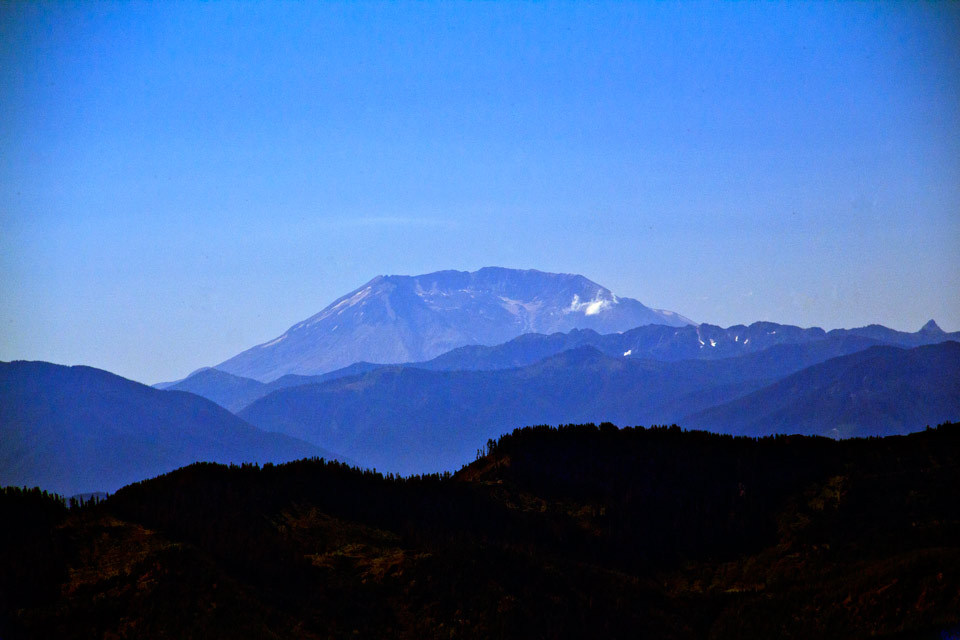
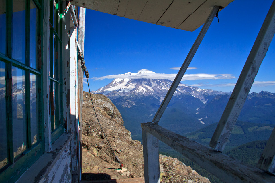
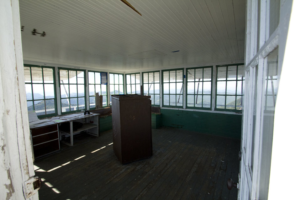
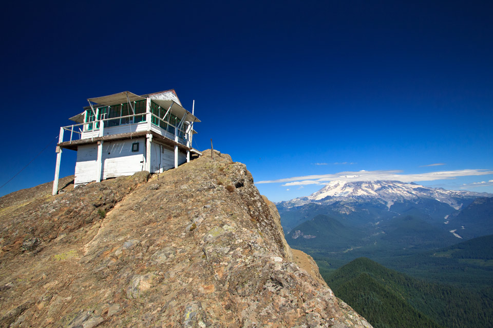
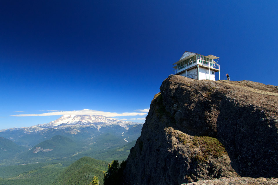
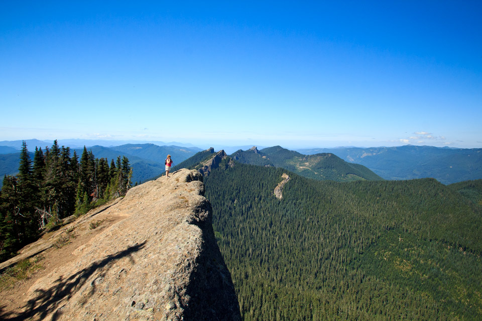
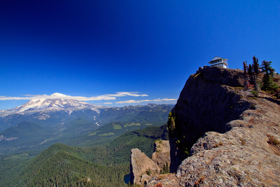
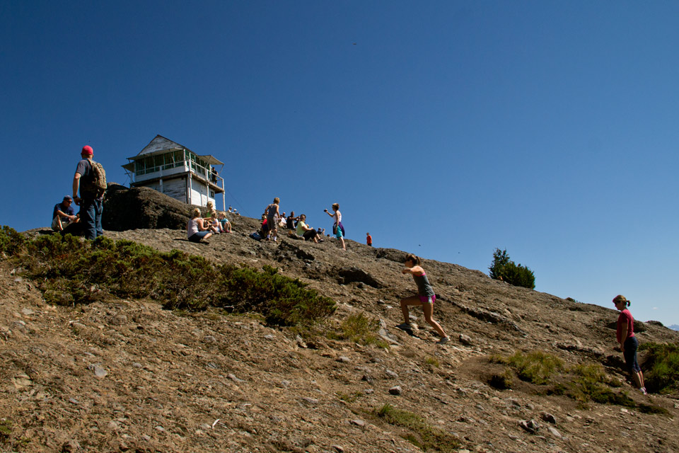
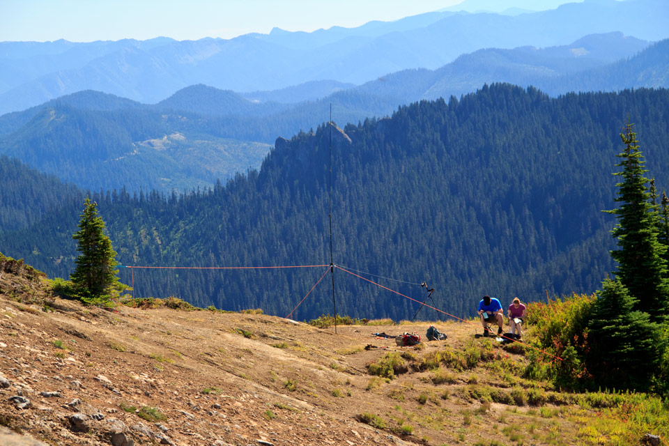
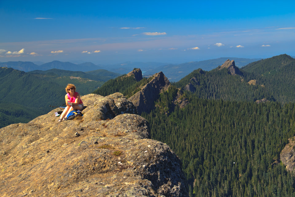
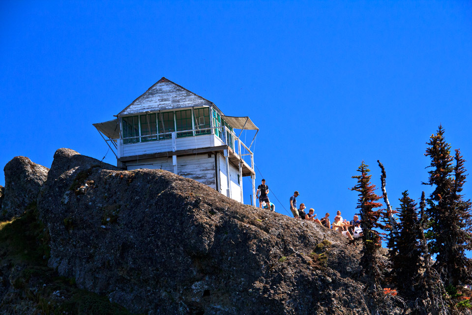
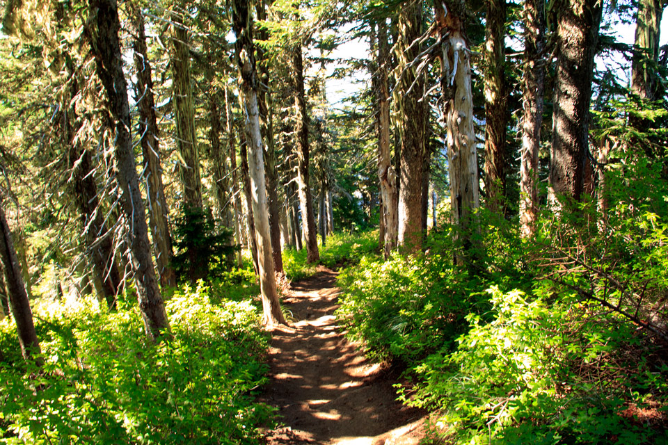
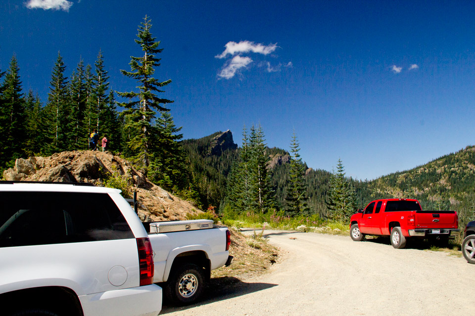
The drive took over two hours from home. We did miss the turn onto the logging road. Arriving about 10:25 we found only five other cars at the trail head. The signs and guide books say the distance to the lookout is about 1.5 miles. My GPS read 2.0miles. The trail was a bit steeper than I remember from doing the hike seven years ago. 1408 ft of elevation gain over two miles. It is a steady 704 feet gain per mile. The high point being 5689 feet. Upon arriving there were only 5 or 6 other hikers, but before we returned another 50+ came and went. One of the couples put up a short wave radio antenna and set up communication with friends that were hiking on the East Coast. The bugs were so thick at the lookout we couldn't stay near it very long. Luck there was a breeze. After about an hour and a half of lunching and picture taking we headed back. This is a hike everyone should do. It has a definite wow factor.
|
|
|
|
First view of the lookout from the road in |
Viewed from near the trail head |
The trail ran along the ridge crest |
|
|
|
A tiny view of the lookout from the first resting bench |
More trail |
The first good view of Mt. Rainier |
|
|
|
Nearing the lookout from the tree line |
First close up |
|
|
"Click on an image to enlarge" |
|
There were sign-in books in the lookout |
|
|
|
|
|
In portrait view |
Looking back at Mt Adams and parking lot |
Adams and St Helens |
|
|
|
Another close up |
These are all bugs |
I think they are all winged ants |
|
|
|
Mt. St. Helens with small steam cloud |
|
Sign in books, but not manned |
|
|
|
|
Quite a view |
Cyd along the ridge |
|
|
|
Viewed from our lunch spot |
Way too many noisey people |
This couple set up a short wave radio antenna and were contacting their friends, who were hiking, on the East Coast. |
|
|
|
Cyd sitting along the ridge line |
|
The trail |
|
|
|
A Memorial along the trail |
Memorial |
High Rock from the parking lot |